The data contained in ADASilk comes from the archives of Art Institute of Chicago, Boston Museum of Fine Arts, CDMT Terrassa, Europeana, Gallica, Garín 1820, Joconde Database of French Museum Collections, Metropolitan Museum of Art, Mobilier International, Musée d'Art et d'Industrie de Saint-Etienne, Musée des Arts Décoratifs, Musée des Tissus, Musei di Venezia, Museo de Arte Sacro El Tesoro de la Concepción, Paris Musées, Red Digital de Colecciones de Museos de España, Rhode Island School of Design, Sicily Cultural Heritage, Smithsonian, Versailles, Victoria and Albert Museum.
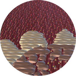
The Virtual Loom and Spatio-Temporal Maps visualizations have been developed by Universitat de Valencia.
ADASilk is based on a generic exploratory search engine for knowledge graphs being developed at EURECOM and includes scientific contributions from Universitat de Valencia, Centre National de la Recherche Scientifique - Lyon 2, Universita Degli Studi di Palermo, GARIN 1820 S.A., Institut Jozef Stefan, Gottfried Wilhelm Leibniz Universitaet Hannover, Monkeyfab, and Instituto Cervantes.
Contact us: info@silknow.eu


